Is Puerto Rico Safe? Neighbourhoods, Beaches and Hurricanes
In this guide
Puerto Rico is, for most visitors, a straightforward and safe Caribbean trip, and the risks that actually injure tourists are not the ones the question usually implies. There is no US State Department travel advisory for Puerto Rico, because it is a US territory and the advisory system covers foreign countries. That is a fact about jurisdiction rather than a clean bill of health — so this guide uses what does exist: Puerto Rico’s own government violence statistics, the Puerto Rico Police crime data, and the National Weather Service’s hazard products.
The short version: the ocean is the most likely thing to hurt you, car break-ins and opportunistic theft are the most likely thing to spoil your trip, hurricane season is a planning problem rather than a danger problem if you watch the forecast, and the island’s serious violent crime is concentrated in patterns that rarely intersect with a visitor’s week.
Where the official information actually comes from
Because no State Department advisory exists, there is no single level to quote, and a lot of travel writing fills that vacuum with vibes. These are the real sources, and all of them are free and public.
| Source | What it tells you | Where |
|---|---|---|
| Puerto Rico Institute of Statistics (PRVDRS) | Violent deaths — homicides, suicides and other — by quarter and year, with rates by police area | estadisticas.pr.gov |
| Puerto Rico Police crime mapping | Incident-level NIBRS crime data for the current year, mapped | incidenciacriminal.policia.pr.gov |
| NWS San Juan beach forecast | Daily rip current risk level and surf zone forecast | weather.gov/sju/beach |
| National Hurricane Center | Storm watches, warnings and season climatology | nhc.noaa.gov |
One caveat the police portal states about itself: its public map shows data from 1 January of the current year up to 30 days before today, and it says plainly that the figures there “do not represent the official statistics” of the force — certified numbers come from the Criminality Statistics Division. Use it for pattern, not for precision.
What the crime numbers say
The Puerto Rico Violent Death Reporting System, run by the Puerto Rico Institute of Statistics, published its 2025 annual summary on 4 March 2026. The preliminary figures:
- 732 violent deaths in 2025 in total
- 471 homicides (64.3 per cent), 204 suicides (27.9 per cent), 57 other circumstances (7.8 per cent)
- An average of 61 violent deaths per month, with the highest counts in January (74), June (77) and August (71)
- In the fourth quarter, 93 per cent of homicide victims were men, most aged 20 to 39, and a firearm was used in 92 per cent of homicides
- The police areas with the highest Q4 violent-death rates per 100,000 residents were San Juan (10.2), Caguas (8.4) and Guayama (7.9)
Read that demographic profile carefully, because it is the single most useful thing in the dataset for a traveller. Homicide in Puerto Rico overwhelmingly involves young men, firearms and existing local conflicts. It is not random predation on tourists, and no official source publishes a tourist-specific victimisation rate — we looked, and that number does not exist.
What this does not license is complacency. Puerto Rico’s homicide count is high for a population of its size by US standards, and the island has genuine property-crime pressure in urban areas. The sensible reading is the boring one: your realistic exposure is theft, not violence, and theft is largely preventable.
Areas: what we can and cannot responsibly say
No official body publishes a neighbourhood-by-neighbourhood safety ranking for San Juan, and articles that confidently list “areas to avoid” are usually recycling each other rather than any source. The only official geography in the data is the police area, which groups whole municipalities together — San Juan, Caguas and Guayama led on violent-death rate in the last quarter of 2025, but a police area is not a street.
So, practically:
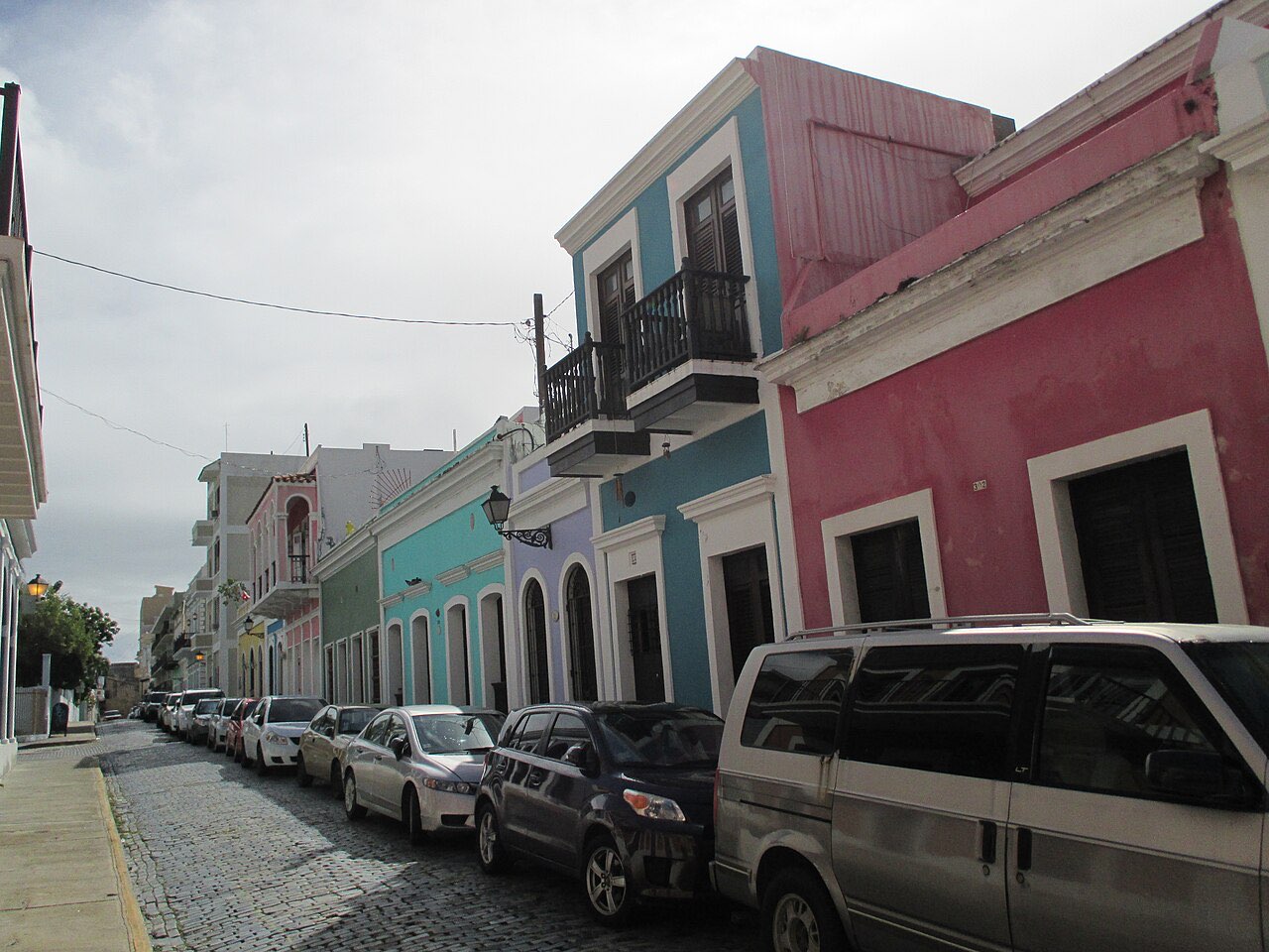
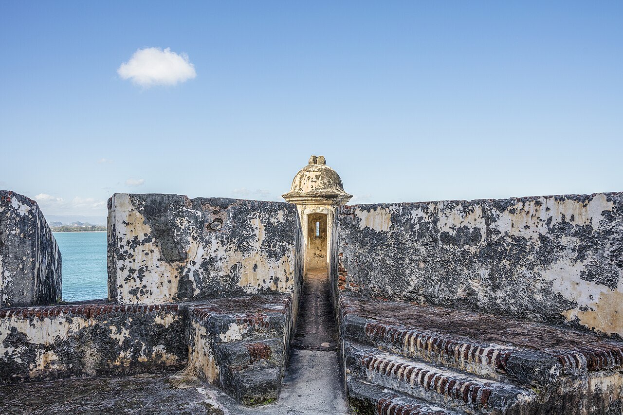
- Old San Juan, Condado, Isla Verde and Ocean Park are the main visitor districts, busy well into the evening, and the normal approach to any city applies rather than anything exotic.
- La Perla, the small coastal neighbourhood below the Old San Juan walls, is a residential community, not a tourist attraction; wandering in with a camera is intrusive regardless of any risk question.
- Rural and mountain Puerto Rico — the interior, the west coast, the south — is not more dangerous than the metro, and in crime terms is generally quieter. The hazards there are road and water hazards.
- Vieques and Culebra are small-island calm. The practical issues are logistics, ferries and services, not crime; see Vieques and Culebra.
The precautions that genuinely move the needle are dull: do not leave bags, electronics or anything visible in a parked rental car anywhere on the island, including beach and trailhead car parks; keep your phone in a pocket rather than your hand on a busy street at night; use ATMs inside banks, hotels or shopping centres in daylight; and do not carry more cash than you need. Our San Juan guide covers the districts in more detail, and money and tipping in Puerto Rico covers the cash side.
The beaches: the risk most people get wrong
This is the section that matters most, and it is the one most “is it safe” articles skip.
The National Weather Service office in San Juan publishes a daily rip current risk level for Puerto Rico’s beaches, which tells you how seriously the federal forecasters take the problem. Their own definitions, as published:
| Risk level | What NWS says it means |
|---|---|
| Low | “The risk is low, but dangerous rip currents can still occur near inlets, groins, jetties, reefs, and piers.” |
| Moderate | “Life-threatening rip currents are possible in the surf zone.” |
| High | “Life-threatening rip currents are likely in the surf zone.” |
Three things follow from that, all of them underrated.
The weather can be perfect and the water lethal. NWS states that distant hurricanes create deadly rip currents and surf far from the storm itself. A cloudless day in October tells you nothing about the swell. As a live example, on 23 October 2026 NWS San Juan had a High Surf Advisory in effect for parts of the island and a high rip current risk running into the following evening, with breaking waves around 10 feet forecast on the north-central coast — on a day that otherwise looked fine.
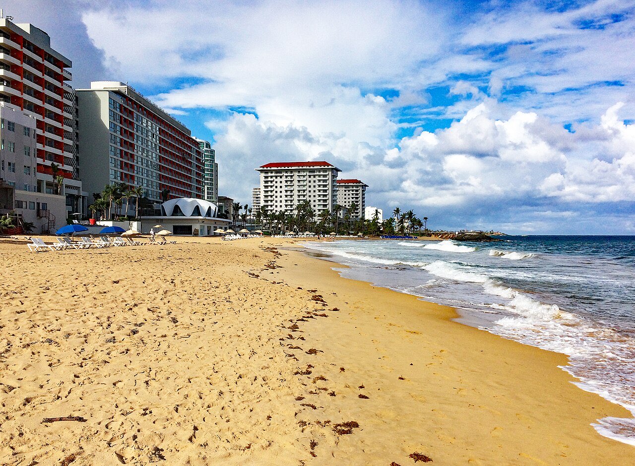
The north coast is the exposed coast. Puerto Rico’s north-facing beaches, including the San Juan city beaches and the surf coast around Rincón, take Atlantic swell directly. South and east coast beaches and sheltered bays are usually calmer. This is why the island’s surf scene is concentrated in the north-west — see the Rincón surf guide — and why a family swimming day and a swell day are not the same trip.
Most beaches have no lifeguard most of the time. We could not find an official, current list of which Puerto Rico beaches are staffed and when, so assume none unless you see one. Balnearios — the public beaches run by the government — are the most likely to have facilities, but do not plan on supervision.
What to do about it
- Check the NWS beach forecast the morning you swim. It takes ten seconds and it is specific to your stretch of coast.
- Swim where other people are swimming, and if a beach that should be busy is empty, that is information.
- If you are caught in a rip, NWS advice is to stay calm, keep afloat, yell for help, and swim parallel to the shore rather than against the current back to the beach. Do not exhaust yourself fighting it.
- Watch children constantly in shallow water. The flat-looking water between breaking waves is often the rip itself, not the safe patch.
- Reef shoes and care on rock. Much of the island’s coast is limestone and coral rather than sand, and cuts from reef rock are slow to heal in the tropics.
Our Puerto Rico beaches guide covers which beaches suit swimming, snorkelling or surfing, and Puerto Rico with kids leans towards the sheltered ones.
Hurricane season, handled calmly
Per the National Hurricane Center, the Atlantic hurricane season runs 1 June to 30 November, the Caribbean Sea is part of the Atlantic basin, and the climatological peak is 10 September, with most activity between mid-August and mid-October. On the 1991–2020 record, an average season produces 14 named storms, 7 hurricanes and 3 major hurricanes across the entire basin — a basin that spans from Africa to Texas. The overwhelming majority of those never affect Puerto Rico.
What that means for a trip:
- June, July and early August: season is open, direct-hit odds are low, prices are better than winter.
- Mid-August to mid-October: the real window. Travel insurance that covers weather disruption stops being optional, and flexible bookings are worth paying for.
- November: tapering, with the season ending on the 30th.
- December to May: outside the season entirely, which is why it is peak tourist time.
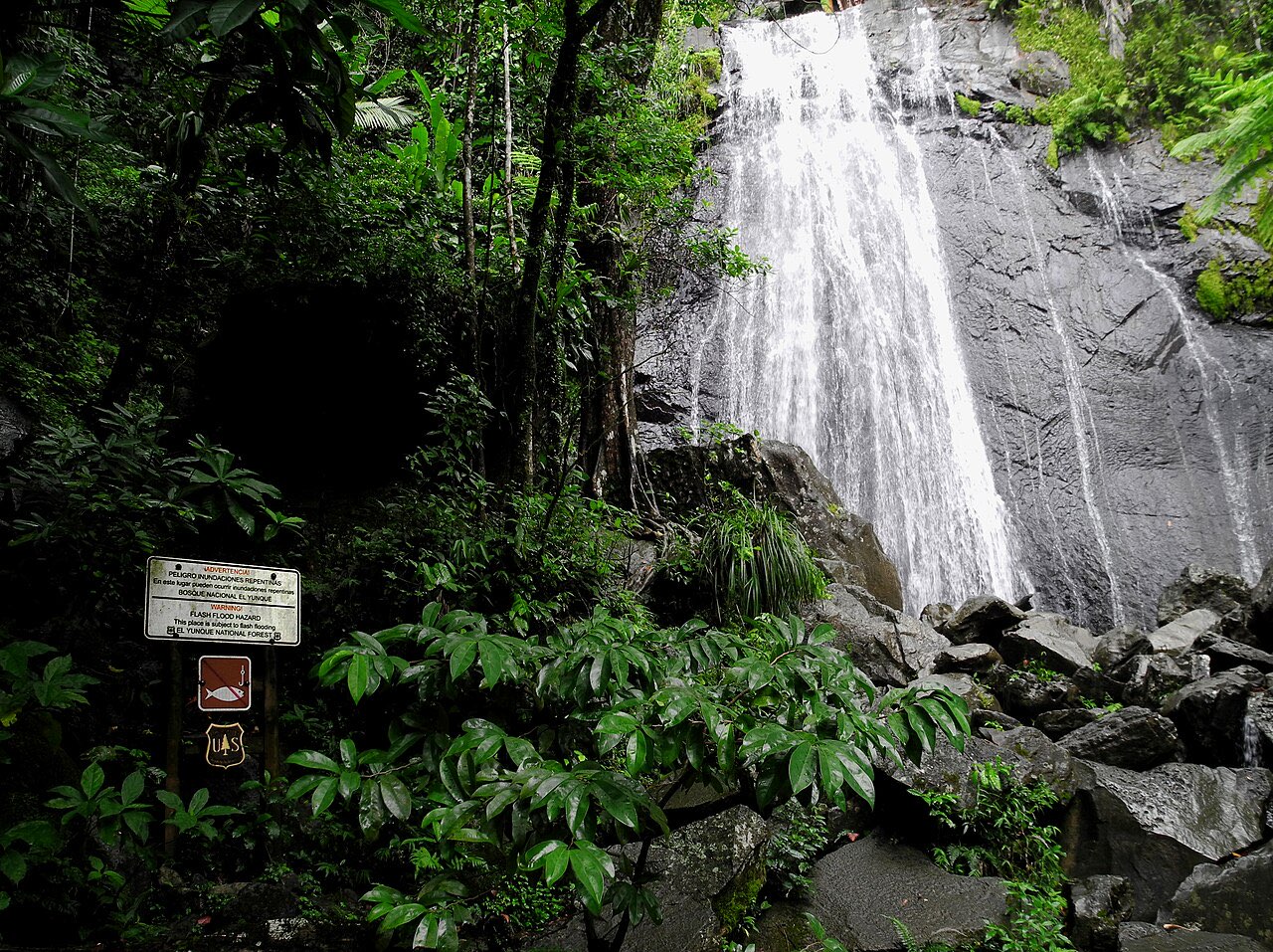
The practical risk in a storm year is rarely the storm hitting your week directly. It is the knock-on: flight cancellations, power interruptions, closures of outdoor attractions, and roads affected by rain and flooding. Watch the NHC rather than social media, follow local emergency instructions, and remember that heavy rain in the mountains produces flash flooding in valleys that are perfectly sunny — a point worth holding onto if you are hiking El Yunque. More on season timing in our Puerto Rico hurricane season guide and the best time to visit.
Roads, rentals and the rest
Most visitors drive, and driving is the normal US arrangement: right-hand side, US licence valid, signage in Spanish, distances posted in kilometres while speed limits are in miles per hour, which catches people out for about a day.
The honest cautions:
- Mountain roads in the interior are narrow, steep, tight-cornered and often unlit, with limited phone signal. Drive them in daylight.
- Rain changes everything. Downpours are heavy and sudden, and standing water of unknown depth should never be driven through.
- Nothing visible in the car. Boot-and-beach break-ins are the most commonly reported traveller problem, and an empty-looking interior is the single best defence.
- Parking in Old San Juan is genuinely difficult; use a garage rather than circling.
See the Puerto Rico driving guide for rental specifics.
On the basics: 911 works, the US emergency number applies, hospitals operate on the US system and most US health insurance travels with you, though coverage details are yours to check. Tap water is treated to US standards in most of the island, and the currency is the US dollar. Spanish is the working language; English is widely spoken in tourist districts and less so in the interior.
Mistakes to avoid
- Treating “no travel advisory” as “verified safe”. The absence means Puerto Rico is US territory, nothing more.
- Swimming without checking the rip current forecast. The single highest-value ten seconds of your trip.
- Leaving anything in a parked rental car. Including at trailheads, beach lots and restaurants.
- Assuming all beaches swim alike. North coast and south coast are different oceans in practice.
- Booking peak hurricane weeks with rigid, non-refundable everything.
- Driving mountain roads after dark on your first night.
- Quoting neighbourhood “no-go lists” you read online. No official source publishes one, and most of those lists are copies of copies.
So, is it safe?
Yes, with the same caveats that apply to any US city and any tropical coast: watch your belongings, watch the water, and watch the forecast in the autumn. The official data points to risk that is real but concentrated, and the hazard most likely to ruin a visitor’s day is a rip current on a sunny morning rather than anything in a crime statistic.
Advisory positions, crime data and weather hazards change. Before you travel, check the NWS San Juan beach forecast for the days you plan to swim and the National Hurricane Center for anything in the Atlantic, and read Puerto Rico travel requirements for the documents side.
Frequently asked questions
Is there a travel advisory for Puerto Rico?
No. Puerto Rico is an unincorporated US territory, and the State Department issues travel advisories for foreign countries, not for US states or territories. That is a statement about jurisdiction, not a verdict on safety, and it means you have to use local sources instead: the Puerto Rico Institute of Statistics for violence data, the Puerto Rico Police crime-mapping portal for incident data, and the National Weather Service in San Juan for surf, rip current and storm hazards.
What is the biggest real risk for visitors to Puerto Rico?
The water, not crime. Rip currents are the hazard that most often catches ordinary tourists, and the National Weather Service office in San Juan publishes a daily rip current risk level for the island's beaches for exactly that reason. Its scale is blunt: at moderate risk, life-threatening rip currents are possible; at high risk, they are likely. Property crime and car break-ins are the next most likely problem. Serious violent crime is concentrated in patterns that rarely touch visitors.
Is San Juan safe at night?
Treat it like any sizeable city: the tourist districts of Old San Juan, Condado and Isla Verde are busy and well lit in their core, and the standard precautions do most of the work — stay on populated streets, keep your phone out of your hand, do not leave anything visible in a parked car, and use a licensed taxi or a rideshare rather than walking long distances late. Puerto Rico's official violent-death data is reported by police area, and the San Juan police area had the highest rate in the final quarter of 2025, but that covers a large metropolitan population, not the visitor strips specifically.
Do I need a passport to go to Puerto Rico?
Not as a US citizen flying from the mainland — it is a domestic flight. Since 7 May 2025 TSA requires a REAL ID-compliant licence or another acceptable form of identification, and a US passport can be used instead of a REAL ID. Travellers from other countries should check the US entry rules that apply to them, since Puerto Rico is US territory for immigration purposes.
When is hurricane season in Puerto Rico?
The Atlantic hurricane season runs from 1 June to 30 November, and the Caribbean Sea is inside the Atlantic basin. The National Hurricane Center puts the climatological peak at 10 September, with most activity between mid-August and mid-October. An average season, on the 1991 to 2020 record, produces 14 named storms, 7 hurricanes and 3 major hurricanes across the whole basin — most of which never come near Puerto Rico.
Is it safe to drive in Puerto Rico?
Driving is how most visitors get around outside San Juan and it is normal US-style driving on the right, with distances in kilometres and speeds in miles per hour. The practical cautions are mountain roads that are narrow, steep and poorly lit, heavy rain that arrives fast, flash flooding in river valleys after mountain storms, and the universal rule about never driving through standing water of unknown depth.
Keep planning
- El Yunque: Reservations, Trails and Waterfalls
El Yunque reservations are no longer required: free PR-191 entry 8am–5pm, the $8 El Portal fee, which trails are open or closed, and how to plan the day.
Updated Oct 2026 - Best Time to Visit Costa Rica: Dry, Green and Shoulder Season
Best time to visit Costa Rica month by month: Pacific dry season dates, why the Caribbean is driest in September, and green season prices.
Updated Oct 2026 - Best Time to Visit the Dominican Republic: Season by Coast
Best time to visit the Dominican Republic month by month: hurricane season dates, Samana whale season, sargassum by coast, and why the north coast runs backwards.
Updated Oct 2026